Minding the Maps
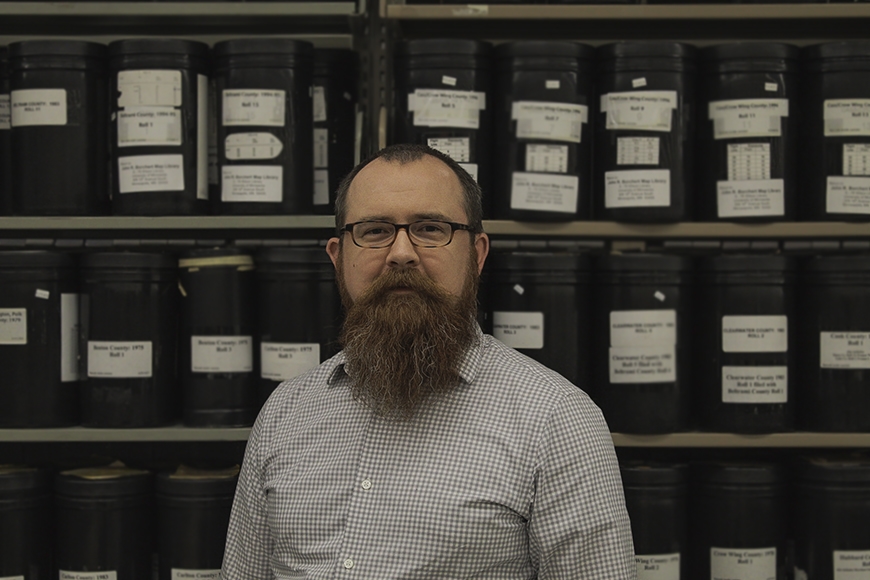
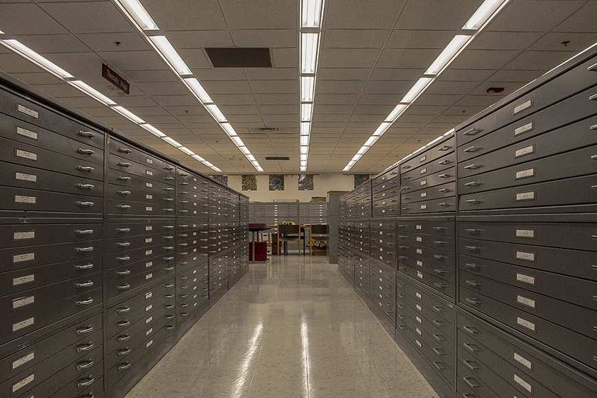
The room is still. Within the cases and upon the bookshelves lay hundreds of thousands of historical maps, atlases, and aerial photographs. I sat down with Ryan Mattke, the head of Borchert Map Library, in this sanctum of study, rich with history.
I couldn’t help but wonder the countless stories held within its walls. I asked Mattke what the chances were of the library hosting information about my grandparents’ farm. He smiled, grabbed a book, and after flipping pages for no more than ten seconds, Mattke showed me the precise location and description of my grandparents’ farm. I was blown away.
Powerful histories and compelling discoveries can be revealed in just one visit to the John R. Borchert Map Library.
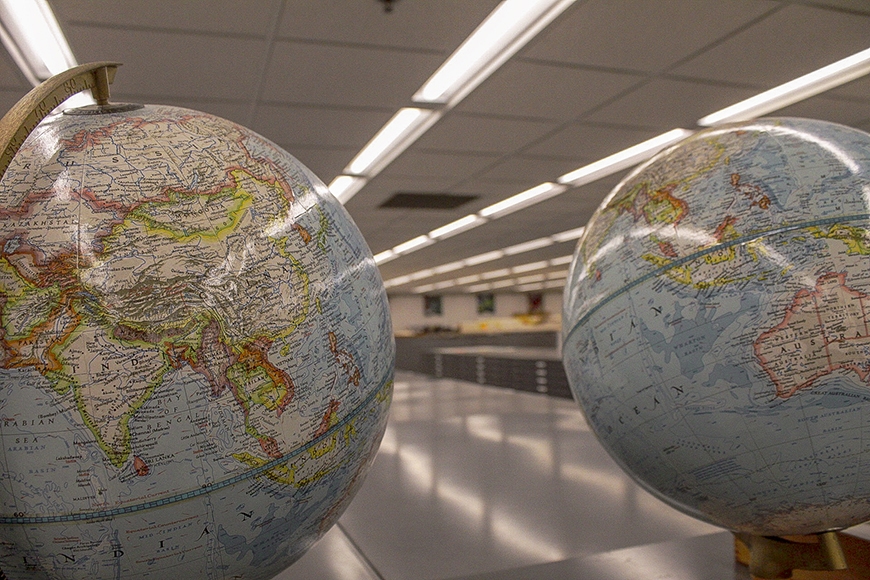
What is the Borchert Library?
As a part of a land grant institution, the Borchert Map Library takes the University’s outreach mission to heart and welcomes everyone to use its resources. Nearly half of its use comes from the general public, since historical records like these don’t exist in such a concentrated number elsewhere in Minnesota.
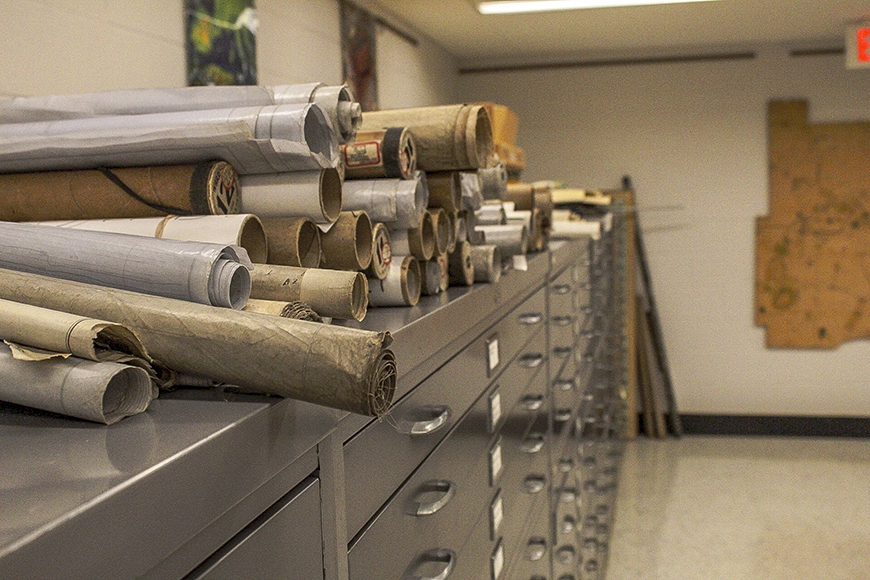
Within the library, each of Minnesota’s eighty-seven counties is represented. Aerial photographs—part of the Minnesota Historical Aerial Photographs Online—dating back to the mid-1930s document crops and forests throughout the state. Maps of all kinds, including topographic, geologic, and demographic, show the development of the great north. Another large collection housed in the library is the plat book and atlas collection. These records show property ownership throughout every county, holding a concentration from the late 1800s and sporadically through the early 2000s.
Before the library was named in 1989 for UMN geography professor John R. Borchert in honor of his retirement from the University, the Borchert Library had several homes. In the 1920s, the University of Minnesota stored its maps in Walter Library. Then, in the 1950s, that collection moved to Johnston Hall—its first floor was originally an annex of Walter. By 1964, the maps were moved to the fifth floor of the Social Sciences Building. This location was the last pit-stop before a permanent landing in 1968 in the Wilson Library sub basement, in a space designed specifically for the collection.
Currently the Borchert Library doesn’t have any plans to move, well, at least not physically. The library intends to continue with digitizing many of its resources. “With digitization and the making of maps digitally now... [maps] require less physical space,” says Mattke.
While the library may be able to add more to its collection by converting physical maps to electronic versions, Mattke explains that there is a hidden challenge to storing digital archives. “If you put a paper map on a shelf and come back fifty years later, it’s still a paper map on a shelf. That is not the case for digital data.” The challenge comes with the reliability of archive technology that can change dramatically over the decades.
However, through digitization comes the power to put more resources into the hands, or computers, of people from many places.
Current Engagement
In an effort to share more information with the public, the Borchert Library is continually updating and expanding its digital archive. “[People from] thirty different countries and forty-eight states have downloaded photos from our online database,” Mattke mentions. Additionally, the same database has seen about a quarter million online visits in the past six years. “For aerial photographs, we are the de facto archive in the state,” Mattke says. The library hosts over 362,000 aerial photographs, along with 230,000 sheet maps and 12,000 books and atlases.
The library also facilitates learning opportunities for University of Minnesota students and faculty and supports research for the general public. Landscape architecture classes will compile maps of potential building sites. Art classes analyze the print techniques of the aerial photographs. Genealogists use the resources to trace ancestral history or find place names that no longer exist on current maps. The references can even assist a book club in visualizing the setting of a historical novel based in Paris.
Acquisitions
The library receives roughly 200 to 300 new maps every year. These acquisitions can come through a vendor or through specific, one-time purchases. Additionally, Mattke discusses their work on “accumulated backlogs of unprocessed material.” In the past decade, they have increased the aerial photograph archive from 200,000 to 362,000 files through the backlogs.
The Borchert Library also receives donations of particularly honorable collections from time to time. The Ames Library of South Asia was given to the University Libraries in 1961. This private collection consisted of over 25,000 titles, including roughly 500 maps and atlases from the years 1540 to 1945 in South and Southeast Asia. These maps and atlases were brought to the Borchert Library. Mattke mentions, “over 300 of these maps and atlases have been digitized through the website.” As one of the more unique collections in the library, it offers deep exploration into the history of the world.
Mapping Prejudice
On Monday, February 25, 2019, Twin Cities Public Television premiered an hour-long documentary featuring a Borchert Library project. The ongoing work Mapping Prejudice discusses racially restricted property ownership in early 20th-century Minnesota. This project uncovers racial covenants that restricted people of color from buying and renting safe and affordable housing. “The Borchert Library gave [Mapping Prejudice] an administrative home,” says Mattke. Along with providing work space for the project, the library’s technology and connection network will assist in distributing this compelling research.
That’s the power of this archive. Not only have the maps and photographs remained safe and intact, but they have also been transformed into data files capable of traveling the world in an instant. Through the Borchert Library, digital development and diligent work are breaking the mold for global impact.
This story was written by an undergraduate student in CLA.