Len Kne Talks U-Spatial and Creating a Spatial University
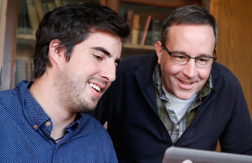
Len Kne (pictured right) wears many hats at the University of Minnesota; he is an innovator, educator, researcher, mentor, administrator and collaborator.
Len’s main role is the Director of the highly-respected U-Spatial unit, part of Research Computing in the Office of the Vice President for Research (OVPR). As noted on their website, U-Spatial is a nationally recognized model that serves and drives a fast-growing need for expertise in Geographic Information Systems (GIS), remote sensing, and spatial computing across the University. In this role he supervises U-Spatial staff and research assistants, meets with clients, and oversees key initiatives.
Len has been an innovator by helping to incorporate spatial thinking into the university environment. He has the starring role in a recent video produced by Esri on U-Spatial focused on creating a spatial university. He is also a co-author on the lead chapter titled U-Spatial: Support for Research and Teaching at the Spatial University that appears in the Esri book, STEM and GIS in Higher Education. Last summer, Len headed up a team from the UMN who presented at the plenary session of the 2018 Esri User Conference about “Advancing Spatial Science and the Workforce of Tomorrow”; read more about this presentation and see the video featured in an Inquiry article, an online publication by the OVPR highlighting stories about scientific breakthroughs, business partnerships, interdisciplinary collaboration, and cutting-edge research.
Embracing ArcGIS Online has been a huge factor in expanding the number of people thinking spatially at the University. More than 9,000 students, faculty and staff have accounts on ArcGIS Online, making the University the largest higher education user of the platform. Students from nearly every department create more than 25,000 maps each year.
Len also serves on the MGIS graduate faculty. He has advised countless students on independent projects and internships including the award-winning MN solar suitability project comprised of 12 MGIS students who developed a web application that won the top prize in ESRI’s Climate Resilience App Challenge. He has taught the spatial database design and administration course in the past and currently teaches the GIS project management course; his many years of professional experience in the GIS and Information Technology fields make him the perfect instructor for this class. Len has also been involved in the GIS component of a field experience course in humanitarian crisis management.
In addition to his work at the University, Len volunteers his time in a numerous of ways such as serving as the Higher Education representative on the Minnesota Geospatial Advisory Council. He is actively involved in MN GIS/LIS Consortium helping to organize workshops and regularly speaking at their annual conference.
Thank you, Len, for your contributions to the University, the MGIS program and the GIS profession!


