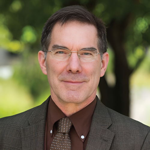
Robert Mc Master
267 19th Ave S
Minneapolis,
MN
55455
After completing my B.A. in geography in 1978 from Syracuse University, I was in residence at the University of Kansas from 1978-83 where I completed my M.A. and Ph.D. degrees. At the University of Kansas, I became interested in cartographic generalization, in particular building and evaluating algorithms for the simplification and smoothing of cartographic features, and later turned to issues of creating conceptual models of the process and the design of user interfaces. This collection of work was published in a series of journals papers and resulted in two books, Map Generalization, co-edited with Barbara Buttenfield, and Generalization in Digital Cartography, co-authored with K. Stuart Shea. Although I have recently turned my efforts to other research interests, I still have a few research projects involving generalization.
My life trajectory continued westward when I started as an assistant professor of geography at UCLA in 1983. At UCLA I taught courses in cartography, digital cartography, remote sensing, quantitative methods, and GIS. In terms of research, I worked extensively on my generalization projects, became interested in tracing the development of academic cartography in the United States, and, perhaps most importantly, became interested in risk assessment and GIS, working in conjunction with one of UCLA's human geographers. Our initial project involved building a spatial database of hazardous materials and geodemographics in Santa Monica, California, and creating a GIS-based risk assessment model. It was somewhat rudimentary, but showed us how well these new systems could be used for modeling purposes. As part of the national academic reshuffling associated with the siting of the National Center for Geographic Information and Analysis, I accepted a position at Syracuse University in 1988, and then later moved to the geography department at the University of Minnesota in 1990.
Although my first years at Minnesota were spent working in the area of generalization, I have recently shifted more fully into research on GIS and society, in particular risk assessment (once again) and public participation GIS. The Minneapolis risk assessment project is focusing on the development of better spatial methodologies, including both statistical and cartographic approaches, for the purpose of assessing environmental injustice. Our work (Leitner, Sheppard, McMaster and some extremely talented graduate students) assesses environmental injustice based on a series of hazardous sites (Toxic Release Inventory, Superfund, Petrofund) from a variety of scales, resolutions, and analytical approaches. At the same time, we work with individual neighborhoods to determine, exactly, how they might utilize spatial methodologies for environmental inventorying, monitoring, and potential conflict resolution. These two research projects have been funded by NSF and the Center for Urban and Regional Affairs (CURA).
A research team, including John Adams, Mark Lindberg, and myself from geography, recently received a 5 million dollar grant from the National Science Foundation to build the National Historical Geographic Information System (NHGIS). The project involves building a comprehensive census database of both geography and attributes back in time for both census tracts (back to 1910 for some cities) and United States counties (back to the late 18th century). When complete, these Web-delivered datasets will allow researchers to tackle true spatio-temporal problems for the first time.
Other professional activities at Minnesota have included serving as Editor of Cartography and Geographic Information Systems from 1990-96, serving as a steering committee member for the GIS/LIS'92, '93, and '94 conferences, Co-director of the Eleventh International Symposium on Computer-Assisted Cartography, Chair of the UCGIS Research Committee (1997-99), and President of the Cartography and Geographic Information Society (CaGIS), a member organization of ACSM. I am currently serving on the Board of the UCGIS and am a Vice President of the International Cartographic Association.