Dr. Bryan Runck Appointed as New Associate Director of GeoCommons
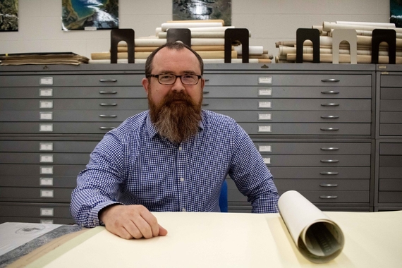
The Department of Geography, Environment & Society is pleased to announce the appointment of Dr. Bryan Runck as the associate director of GeoCommons. GeoCommons is an innovative collaborative geospatial research, teaching, and public engagement initiative with new state-of-the-art facilities in Blegen Hall. He will work with Director Eric Shook in shaping and administering diverse programming and activities within GeoCommons, fostering strong collaborations with units across the University system, as well as individuals and organizations working in GIScience in the public, private, non-profit, and government sectors. He will continue to serve on the MGIS program graduate faculty, and in the GEMS Informatics Center leading the Real-time GeoInformation Systems lab. Bryan will build on his track record of developing inclusive, student-focused experiences for degree and non-degree GIScience learners.
Bryan brings a wealth of expertise and experience across the University’s tri-fold mission of research, education, and outreach. After receiving his PhD from the University of Minnesota in Geography with a minor in Computer Science in 2018 and serving as a Visiting Research Scientist in the University of Southern California’s Viterbi School of Engineering, Bryan joined the GEMS Informatics Center at the University of Minnesota. In GEMS, he has built a lab engaged in over $11 million dollars of community-engaged sponsored research, published almost 20 papers in journals such as Nature Climate Change, Nature Communications Biology, and PNAS Nexus, while translating this research into two program lines focused on supporting research and non-credit teaching at the University.
In his new role , Bryan will continue to build upon his work in the GEMS Informatics Center to provide research-as-education experiences for learners across the programs housed in the Department of Geography, Environment, and Society. He is a talented and experienced educator who teaches courses in spatial data science, cartography and geovisualization, and real-time geospatial systems.


