Borchert Lecture

Look out for the announcement of our next Borchert Lecture for November 2024. We hope to see you there!
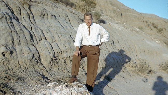
The Borchert Lecture series was established in April 2008 with the inaugural lecture delivered by Jack Dangermond, founder/president of ESRI and graduate of the University of Minnesota (master's of architecture, 1968). This annual event honors the late John R. Borchert, University of Minnesota Regents Professor in the Department of Geography, Environment & Society and member of the US National Academy of Science.
The lecture series features notable speakers in the area of geographic information science and, since 2014, is part of the campus-wide UMN Spatial Forum event. The Spatial Forum is a yearly event highlighting spatial research, teaching, and outreach.
This event is free and open to the public and is co-sponsored by the MGIS program, Geography, Environment & Society, U-Spatial, and DASH. Below is a list of Borchert Lecture speakers and the titles of their presentations. To learn more about Dr. Borchert's impressive life and career, please read the biographical memoir written by John Adams and Vernon Ruttan.
| Date | Presentation Title & Speaker |
|---|---|
| November 2023 | "My Geospatial Tech Journey -- What's next?" Nadine Alameh |
| November 2022 | "A Cartographic Bookending of the 20th Century: the contributions of Minnesotans J.Paul Goode and John Borchert" Robert McMaster |
| November 2021 | "From cougars to penguins: Pushing boundaries in spatial ecology" Michelle LaRue |
| November 2020 | "Re-thinking the Growth of London: An interactive multi-stakeholder perspective derived in geodesign and negotiation" Carl Steinitz |
| November 2019 | "Geospatial Discovery and Innovation in the Era of Artificial Intelligence and CyberGIS" Shaowen Wang |
| November 2018 | "Swells, Soundings, and Sustainability in the Ocean" Dawn Wright |
| November 2017 | "Vignettes in Natural Resource Management; Rocks, Wood & Water" Rolf Weberg and Lucinda Johnson |
| November 2016 | "Challenges and Opportunities in Modeling--and Managing--Biodiversity in a Future Under Climate Change" Jessica Hellmann |
| November 2015 | "Big Data and Visualization: Deriving insights from global data to identify and warn of food systems disruption" Amy Kircher |
| November 2014 | "Understanding Global Change: Opportunities and challenges for data-driven research" Vipin Kumar |
| November 2013 | "What is GeoDesign and Why Does It Matter?" Tom Fisher |
| November 2012 | "From Disease to Disaster: Geospatial analysis for environmental decision making" Nina Lam |
| November 2011 | "Ways Forward for Geographic Information Science and Technology Education" David DiBiase |
| November 2010 | "Online Participatory GIS for Decision Support of Regional Transportation Improvement" Timothy Nyerges |
| November 2009 | "Coastlines, Boundary Lines, and the Cartographies of Protection and Control" Mark Monmonier |
| November 2008 | "Geographic Information in the World Wide Web 2.0" Michael Goodchild |
| April 2008 | "The Geographic Approach: A cross-cutting methodology" Jack Dangermond |