As the World's First Spatial University, the University of Minnesota is Advancing Spatial Sciences and the Workforce of Tomorrow

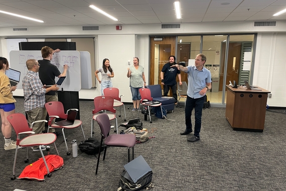
Hundreds of faculty have integrated spatial thinking into the core of their research, teaching, or outreach. The use of maps and geospatial analysis is pervasive throughout the University, as seen with over 19,000 students, faculty and staff using ArcGIS Online. A new publication edited by Steve Manson, Len Kne, Brittany Krzyzanowski, and Jane Lindelof, Building the Spatial University: Spatial Thinking, Learning, and Service Throughout the System, includes chapters written by authors from across the University.
This book discusses the concept of The Spatial University as part of the broad growth of spatial sciences and the need for spatial infrastructure in colleges and universities. The book centers on the development of U-Spatial, the spatial science infrastructure at the University of Minnesota that offers a range of activities and services, including data access, training, consulting, and community building. Against a backdrop of the changing nature of research, teaching, and service in higher education, the success of U-Spatial anchors a broader discussion of what it means to be a spatial university.
Visit The Spatial University website to learn more about geospatial science programs, research centers, outreach, research projects and more. The UMN Spatial Forum is an annual fall event on GIS Day that showcases geospatial activities on campus and features the Borchert Lecture.